
Mobile ZIP Coverage at a Glance
Mobile's ordinary-area ZIPs and its special postal codes must not be blended into one list of neighborhoods. City survey respondents supplied 36602–36613, 36617–36619, 36640, 36693, and 36695 as ordinary-area Mobile ZIPs. USPS material also associates several special candidates with Mobile. Some serve PO boxes, government mail, a court, or an institution. Each address still needs individual USPS verification.
| ZIP | Broad area or use | Postal facility or role | Search caution |
|---|---|---|---|
| 36602–36606 | Central, downtown, and older city sectors | Ordinary-area delivery | Boundaries cross named neighborhoods |
| 36607–36610 | Midtown, north, and east Mobile areas | Ordinary-area delivery | Postal city does not prove jurisdiction |
| 36611–36613 | North Mobile and Chickasaw-area postal geography | Ordinary-area delivery | Check the city and county boundary |
| 36615 | Airport-related or special area | Special use | Not a general resident roll |
| 36617–36619 | Northwest and southwest corridors | Ordinary-area delivery | Use parcel GIS for an exact site |
| 36688 | University of South Alabama | Unique or institutional use | Not a neighborhood-wide resident area |
| 36693, 36695 | Southwest and west Mobile growth areas | Ordinary-area delivery | Annexation and county pockets may occur |
| 36601, 36616, 36633, 36640, 36652, 36670, 36671, 36685, 36689, 36691 | USPS-associated special candidates | Several government, PO-box, or special roles | Confirm classification before resident research |
Known special examples show why the warning matters. ZIP 36601 is used by the main or business-mail facility. ZIP 36633 serves city and county government PO boxes, 36640 is tied to Midtown Station PO boxes, and 36652 appears in Municipal Court mail. A code tied to an institution or box section should never be treated as a map of households.
Verify a Mobile ZIP with USPS
The official postal lookup is the first checkpoint when an address comes from an old letter, directory, court caption, or family note. Search the street address when it is known. A city-and-state result can identify ZIPs associated with Mobile, but it cannot by itself classify each one as residential. Preserve the ZIP+4 when USPS supplies it because that added segment narrows a delivery unit. Then compare the address with county or city mapping for legal jurisdiction.
Use the USPS city and state ZIP lookup to check the postal assignment.
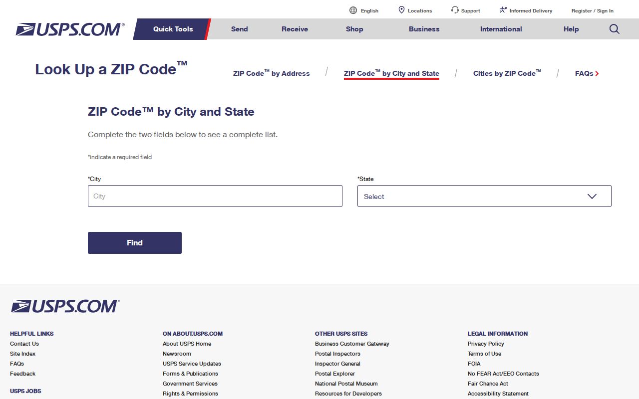
The USPS form resolves mail routing. It does not show parcel ownership, city taxes, voter status, or who occupies a dwelling.
- ZIP
- A USPS delivery area that can cross municipal and neighborhood lines.
- ZIP+4
- The five-digit ZIP plus four digits that identify a smaller delivery segment.
- PO-box ZIP
- A code used for post-office boxes rather than a broad set of street addresses.
- Unique ZIP
- A code assigned to one large institution or mail recipient.
- Carrier route
- A group of addresses served along a postal carrier's route, not a city boundary.
Special Mobile ZIP Codes
Special codes are the biggest source of false assumptions in a ZIP code directory. The University of South Alabama's 36688 is institutional. Government and court mailing codes can point to offices and boxes, not to a residential zone. Even an ordinary-area ZIP may contain a mix of dense historic wards, later suburbs, county pockets, or land near Prichard and Chickasaw. The postal name is meant to move mail, not settle which local government has authority.
A sensible classification uses three checks. Confirm the exact address through USPS. Locate the parcel in the Mobile County or City of Mobile mapping system. Finally, open the agency page that states the office's subject and territorial reach. That last step prevents a postal label from sending a records request to the wrong court, clerk, or archive.
Note: The ordinary-area list is a research starting set, not a claim that every address inside those codes lies within Mobile city limits.
Search Mobile Residents Within a ZIP
No verified Mobile portal offers a clean, unrestricted resident browse by ZIP. The Revenue Commission Advanced search did not expose a confirmed ZIP filter in the accessible fields. Its parcel results may show situs and owner-mailing ZIPs, but those are different facts. VoterView is an individual lookup gated by first name, last name, date of birth, and reCAPTCHA. It is not a ZIP-wide roster. A full voter file may be requested under Alabama law and sorted by public address fields, yet protected voter addresses are redacted.
- Verify the full address and postal code through USPS. Do not begin with an assumed neighborhood ZIP.
- Use Mobile County interactive maps to locate the parcel and compare jurisdictional context when suitable layers are available.
- Open the Revenue Commission parcel record by address or parcel identifier. Keep the situs ZIP apart from the owner's mailing ZIP.
- Use the official record tied to the search goal. VoterView checks one known voter, while deeds, directories, and court records have different keys.
- Once the search narrows to a named road, follow the address workflow in the Mobile street directory rather than trying to infer homes from the ZIP alone.
Alabama also documents a full voter-list request channel. Electronic data costs $0.01 per voter and can be supplied in ASCII or Excel; printed output costs $1 per page. Participation history records whether a person took part, never ballot choices. Protected residential and mailing addresses remain redacted. This file is a formal access route, not the same tool as VoterView and not proof that every person in a ZIP is a current resident.
The result is a bounded and testable search. A ZIP supplies geographic context, while the parcel number, legal description, person name, and record date carry the actual evidence.
Why Mobile ZIP Browsing Stops
Each local system was built for a different task. Revenue offers Owner, Address, ID, and Advanced property-search modes. The accessible Advanced fields include owner name, street number, street name, key or owner or parcel identifiers, property type, tax year, neighborhood, agent, business name, and appeal-related fields. ZIP was not verified as a filter. County GIS may compare postal and jurisdiction layers only when the production map enables them. VoterView asks for one person's identity details.
| Official source | Useful starting key | What ZIP can do | What ZIP cannot prove |
|---|---|---|---|
| USPS lookup | Complete address or city and state | Confirm mail routing | Municipal jurisdiction or residence |
| Revenue Property Search | Owner, address, ID, advanced fields | ZIP may appear on parcel data | A verified ZIP-wide browse |
| County GIS | Map location or parcel | Compare geography if layers exist | Household identity by itself |
| VoterView | Name and date of birth | Confirm one voter's polling facts | A public ZIP roster |
This limitation is useful. It keeps the researcher from merging an absentee owner's mailing address, a physical parcel address, and a resident's identity into one unsupported conclusion.
Mobile ZIPs Cross City Limits
A Mobile, Alabama postal address can lie beyond the City of Mobile. Annexation can also bring a parcel into the municipality without changing how USPS routes its mail. Nearby Prichard and Chickasaw make the distinction especially important in north Mobile postal geography. A ZIP boundary may cut across named neighborhoods, and a neighborhood label may cross more than one postal code.
Jurisdiction decides which municipal court or city records office is relevant. The City of Mobile Municipal Court page describes the court that handles city-limit misdemeanors.
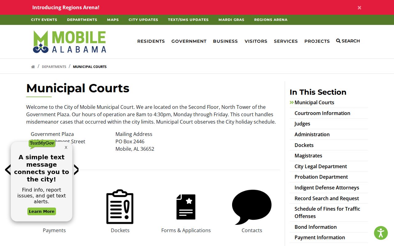
The court page is a reminder that a Mobile ZIP is not enough. Verify the parcel inside the municipal boundary before treating a city office as custodian.
Mobile ZIP Record Keys
Four address fields play different roles. The situs address locates the physical parcel. The mailing address routes tax mail to the owner and can point somewhere else. A legal description identifies the land through lot, block, subdivision, or other durable terms. The ZIP routes mail. When a street name, number, or postal assignment changes, the parcel identifier and legal description are more reliable links in a deed chain.
- Use situs ZIP for the physical parcel's postal context.
- Use owner-mailing ZIP only as the address where tax mail is sent.
- Use parcel ID and legal description to connect land records across changes.
- Use voter information only through the official access channel and its limits.
- Use old city directories and maps to explain historic street or neighborhood labels.
An owner whose mailing ZIP differs from the parcel may be absent, may use a business address, or may have another lawful mailing arrangement. That difference does not prove where the owner or any other person lives.
Mobile ZIP Jurisdiction Desks
Some records associated with a Mobile mailing address belong to a state or federal system rather than a ZIP-based local roll. The Southern District of Alabama sits in Mobile, but federal court research uses party names and docket details through the court and PACER. The Southern District of Alabama identifies the federal court and its services.
Federal jurisdiction follows the case and court rules, not the five digits on a Mobile mailing label.
Electronic access rules also change on their own schedule. The court's federal electronic access fee notice states that PACER's per-page fee rises from $0.10 to $0.12 on January 1, 2027, while the quarterly waiver threshold rises from $30 to $40.
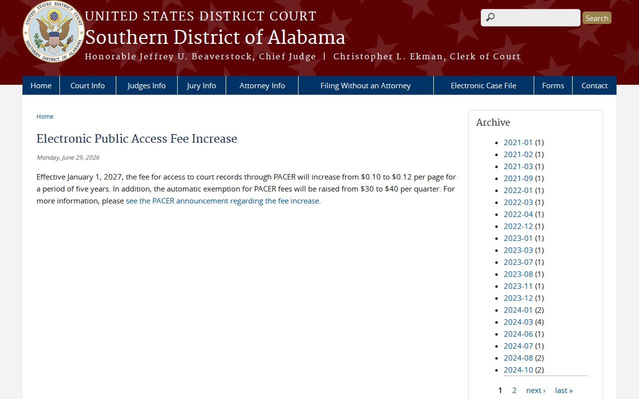
That dated notice should be checked again at the source whenever a Mobile ZIP search leads into a federal docket.
Likewise, victim notification is statewide and custody-based. The Alabama Victim Notification System launched a replacement system in March 2024, and prior users had to register again.
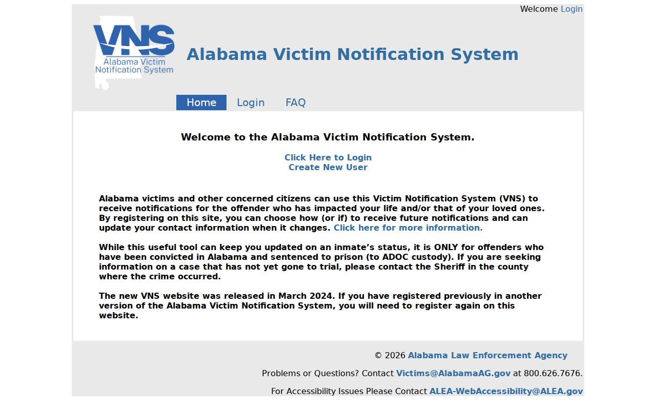
The service covers Alabama convictions resulting in Department of Corrections custody. Local or pretrial custody questions remain with the sheriff, regardless of the subject's ZIP.
Annexation Does Not Reset ZIPs
Mobile's dense historic core, later suburban growth, and western and southwestern expansion were not shaped by postal lines alone. A parcel can move into the city through annexation while keeping the same delivery code. County pockets can remain inside the broad shape that people casually call Mobile. This is why per-ZIP counts should not be labeled city population, city voters, or city parcels unless the source explicitly intersects the ZIP with the municipal boundary.
The best geographic test is layered. USPS confirms delivery. GIS confirms where the parcel sits. The relevant clerk, court, archive, or records office confirms custody. For older questions, directories and maps show how the area was described at the time. Deeds should be followed by names, parcel identity, and legal description, not by ZIP alone.
A ZIP code directory is therefore a sorting tool, not a final resident roll. It can distinguish central codes from north Mobile, southwest growth areas, PO-box sections, and unique institutional mail. It cannot name every occupant or replace the office that created the underlying record.
Note: When an address sits near Prichard, Chickasaw, or an annexed edge, confirm jurisdiction before calling any city records desk.