
Walk a Mobile Street Directory
A useful Mobile by-street search moves from the place to the records, not from a guessed name. Begin with one sound street number and spelling. The Mobile County Revenue Commission can connect that address to a parcel and owner. County mapping then shows where the parcel sits and which lots touch it. The deed index can carry the ownership trail back, while voter and library sources may add limited evidence about people. None of these sources alone lists every person at an address.
- Search the address in the Mobile County Revenue Commission Property Search. Save the parcel number, current owner, situs address, and legal description that appear.
- Open the county map and examine the parcel shape, adjoining parcels, and jurisdiction. Work one parcel at a time along the named street.
- Use the current buyer's name and deed reference in Probate records. Follow the grantor, or seller, backward through earlier purchases.
- Use VoterView only for a person whose name and date of birth are already known. It is an individual check, not a public street roster.
- For an older household, try the library's reverse or criss-cross directories, which arrange listings by address when that feature exists in the volume.
The process keeps claims narrow. A parcel result proves an assessed ownership record, not the identity of each person at the site. A directory entry reflects one publication date. Together, dated sources can support a careful street-by-street account without turning a clue into a fact.
Search Mobile Streets by Address
The Revenue portal offers Owner, Address, ID, and Advanced modes. For a Mobile address search, a bare street name can help confirm spelling before a number is added. Advanced search has several address and identifier routes. The portal displays appraisal data, but it warns that this information is not a legal conveyance. Deeds remain the source for a transfer.
| Advanced field | Input | Required | Mobile search use |
|---|---|---|---|
| Owner Name | Text | No | A first or last name alone is accepted by the portal hint |
| Street Number | Text | No | Narrows a known site |
| Street Name | Text | No | Use the simple street name |
| Key / Owner / Parcel Number | Text | No | Moves from an address hit to a stable identifier |
| Property Type / Tax Year | Dropdown | No | Options were not exposed in the research capture |
| Neighborhood | Search selector | No | Has a separate Search control |
The Revenue Commission is at 3925 Michael Boulevard, Suite G, and can be reached at 251-574-8530 when the site does not resolve an address. Keeping the identifier makes the same lot easier to recognize after spelling or address changes.
Mobile Street Records Side by Side
Address-keyed Mobile records overlap, but their meanings differ. The by-street chain works best when each record is used for the claim it can support. Property and mapping sources establish the parcel. Deeds establish named parties to transfers. Permits can date work. A dated directory may identify a listed occupant.
| Address source | Mobile keeper | What it contributes | Access route |
|---|---|---|---|
| Property roll | Mobile County Revenue Commission | Owner, parcel, appraisal, situs and mailing data | Free web search or commission contact |
| Parcel maps | Mobile County GIS | Parcel shape, adjacent lots, jurisdiction and boundary context | Free interactive applications |
| Deed index | Mobile County Probate Court | Grantor, grantee, transfer references, book and page | Free index; online images or Records Room |
| Permits and cases | Build Mobile | Site, project, owner or applicant, and work description when present | CSS search or permitting office |
| Old directories | Mobile Public Library | Dated name and address listings | Local History & Genealogy desk |
| Voter check | Alabama Secretary of State | One person's registration and polling facts | Name, date of birth, and reCAPTCHA required |
Link the sources by parcel number, legal description, name, and date. Street names alone are weak keys. Postal Mobile also reaches beyond the city limit, so the county or city map should confirm the public office that holds the next record.
Note: A tax mailing address may point to an absentee owner, but it does not establish that person's home at the parcel.
Mobile Street Directory Terms
Four terms keep a by-address search on course. They describe different parts of the same place, and Mobile records may use more than one of them.
- Parcel
- A mapped tract of land with its own tax identifier.
- Situs address
- The physical location of the parcel, distinct from the address where the owner receives tax mail.
- Plat
- A recorded map that identifies lots, blocks, streets, and subdivision lines.
- Criss-cross directory
- A directory arranged by street and number so an old address can lead to a listed occupant.
The legal description is often the most durable bridge. It can survive a changed street name, a new number, annexation, or a postal label that does not match city jurisdiction. Record it before moving into older books.
Map Mobile Streets Parcel by Parcel
The Mobile County interactive maps provide the spatial half of a by-address search. A map can show lot lines, nearby parcels, and boundary context that a list of addresses hides. Exact graphical controls and selected-parcel fields were not accessible during research, so the safe method is simple: locate the subject parcel, click lots one by one, and follow a property-record link only when the live map offers it.
The county's mapping choices can also prevent a jurisdiction error. A postal address using Mobile may sit outside the municipal limit or near Chickasaw or Prichard. Annexation can bring land into Mobile without changing the delivery ZIP. Parcel geometry and jurisdiction layers, when offered by the live map, are better guides than a postal city name.
The official map choices can be viewed on the Mobile County GIS source page.
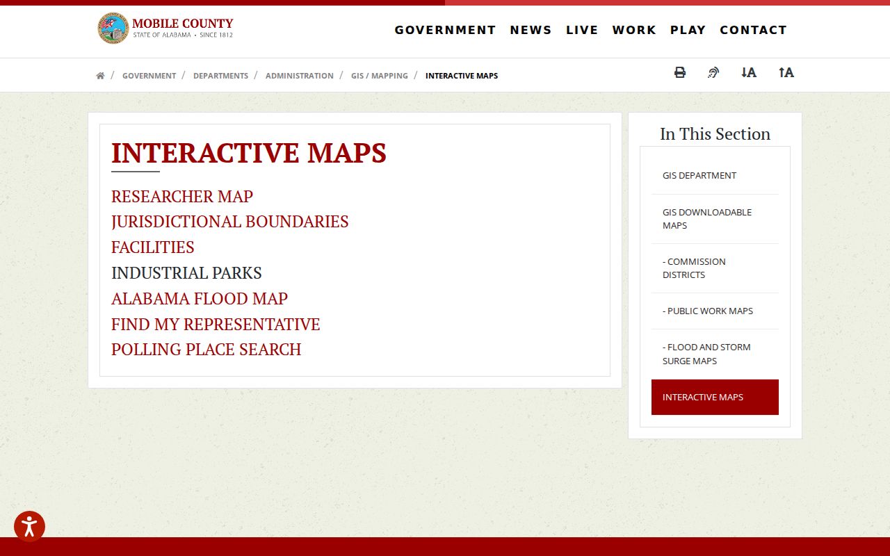
The captured interface confirms the county entry point used to choose the appropriate parcel or boundary application before searching by street.
Mobile Street Records Room Tip
The Mobile County Probate records search reaches real-property records from 1813 forward. Landmark WEB has a modern index from 1984 forward, while historical direct and reverse indexes cover 1813 through 1983. Online document images begin in September 1995. That split matters. A result in the courtesy index does not replace the official instrument, and an older image may require the second-floor Records Room at 151 Government Street.
Start with the current deed reference. The grantee is the buyer or receiving party, while the grantor is the seller or transferring party. Search that seller as a grantee to find the earlier acquisition. Repeat the cycle for each parcel. A street-wide project should never use one broad name query as a substitute for lot-by-lot work.
Insider tip: The Records Room is open weekdays from 8 a.m. to 5 p.m. Public terminals and staff access provide the fallback when the free online index points to a book that has no web image. Bring the names, date range, book, page, and parcel description already found online so the counter search stays focused.
Decode Mobile Street Index Years
The historical index instructions deserve a separate check before an old Mobile address trail is extended. A two-digit year from 00 through 12 means 1900 through 1912, while 84 through 99 means 1884 through 1899. Years 13 through 83 can fall in either century. The surrounding index image and book prefix help resolve the era.
Lettered image names refer to the 1813 through 1958 span, while numeric-only names mark 1958 through 1983. A no-prefix book is from September 1958 or later. Probate also warns that old names can be misspelled. Try variants and inspect neighboring index entries instead of treating the first no-hit as final.
Note: The Landmark index is free, while document images cost per page or through a high-volume monthly plan.
Add Mobile Permits by Street
Permits and code cases add events to the address trail. Build Mobile permitting identifies the city route, and its CSS system is the address-keyed search channel. A building-permit form can ask for the site or project, owner and applicant contacts, historic district, flood zone, work description, plans, setbacks, and a signature. Those fields may connect a parcel to a dated change, but an applicant is not proof of residence.
The live CSS interface did not expose its exact public search fields during research. If the portal fails, contact the permitting office at Government Plaza, third floor South Tower, or call 251-208-5895 with a precise address and date range. A narrow request is more likely to locate the right project than a loose street name.
The official Build Mobile source shows the permitting channel used for Mobile address research.
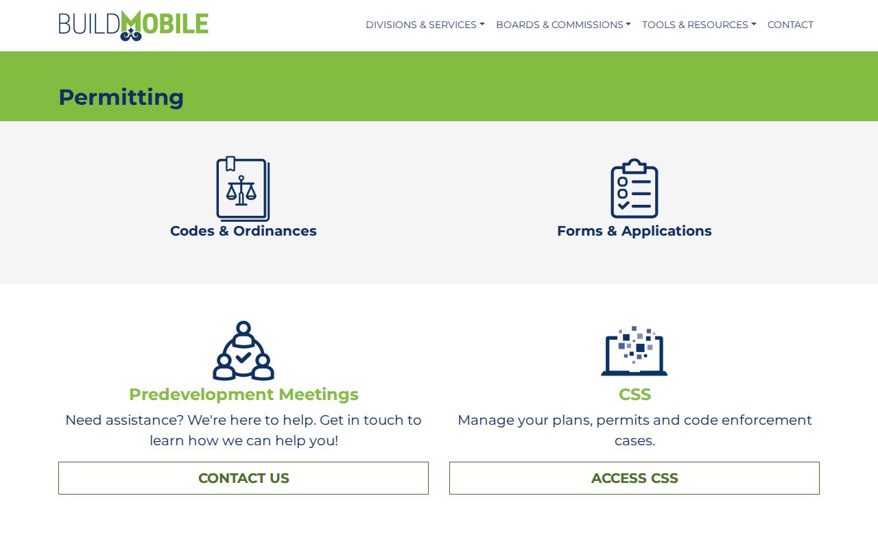
The captured page anchors permit and code follow-up to the city department instead of an unsupported third-party address listing.
Read Old Mobile Streets in Reverse
A modern parcel search cannot supply an older occupant. The Mobile Public Library's Local History & Genealogy collection holds city directories back to 1837, along with telephone books, yearbooks, maps, newspapers, and other local records. A reverse section, when present in the needed volume, turns a street and number into a dated name. An ordinary alphabetical section works in the opposite direction.
Use the library at 753 Government Street from 9 a.m. to 5 p.m. Monday through Saturday, or call 251-494-2190 to ask whether a specific year has a street index. The full historical shelf belongs to the Mobile city directories overview; here, the key is to carry one verified address into the right year and record the result exactly as printed.
Mobile Voter Data Is Individual
Alabama VoterView asks for first name, last name, date of birth, and reCAPTCHA. It confirms one person's registration status and polling information. It does not open a street directory or block roster. Alabama also does not register voters by political party, so a primary ballot choice should never be described as a party field on the registration record.
A separate full-list request can supply authorized electronic data at the statutory rate, but protected voters may have residential and mailing addresses removed or redacted. The Board of Registrars at 151 Government Street, Room 165, handles local registration matters at 251-574-8586. A no-match may reflect an input error, move, inactive status, cancellation, or protection. It does not prove nonresidence.
Limits of Mobile Street Directory
A Mobile street directory built from official sources still has firm limits. The assessment roll names an owner, not every occupant. The GIS map shows land, not a household. A deed records a transfer, not where each party lives now. A permit names people tied to work, and a directory freezes one dated listing. Protected voter addresses, restricted motor-vehicle data, and private account records remain outside an open by-street search.
Use these records for family history, parcel research, civic inquiry, or a better grasp of a block. Confirm important findings with the office that holds the record. Do not publish a guess about a living person as fact.
Lawful use. Mobile address records do not grant permission to stalk, harass, threaten, or intimidate anyone. Alabama law still applies to misuse.